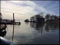
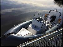
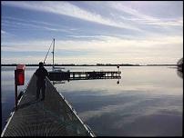
So we took the opportunity last Friday to take our newly purchased Xs rib for another run out on Lough Neagh.
After a coffee stop in Antrim we decided to head over towards Toome with a view to checking out the lough gates. A plan is being formulated for later in the year to cross the lough and enter the Bann River at Toome before heading north to castlerock and the north channel.
So we here we were scooting along at 40 knots with the lough to ourselves and about half way to Toome it seemed as if we had dropped off the edge of a page on the gps. Contours and other details stopped and all we had was an orange background and our track.
Iím presuming we reached the edge of the area covered by whatever card our Lowrance lcx-20 currently has fitted ?
Iím thinking we may also need a new transducer for it as it doesnít seem to read depth very well.
Anyone else using this gps and could recommend a new transducer?
Thanks in advance.
